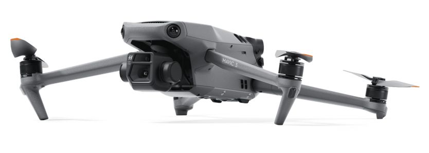
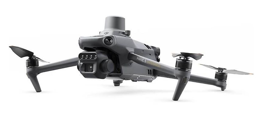
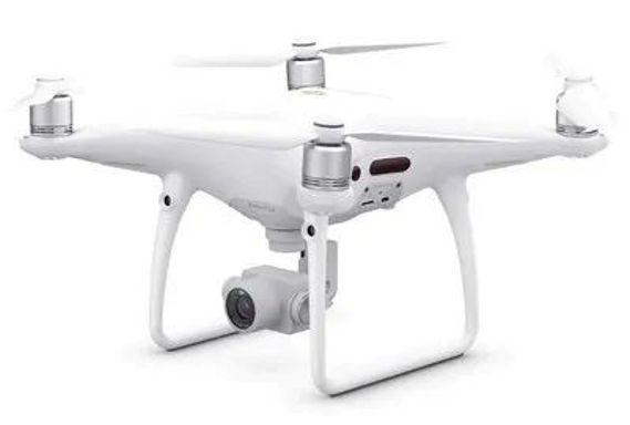
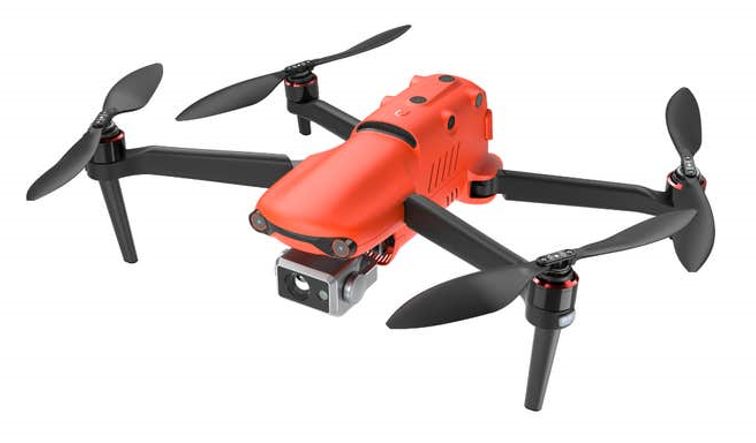
CGR is equipped with a variety of drones and remote sensors that can be requested and tasked to collect data in support of investigations conducted by other groups.
Check available drones and sensors here and then use this page to provide information on your drone data collection needs and to request information on system availability and collection costs.
Use this form to send us a request for data collection. Our team will analyze the request and contact you for further coordination.
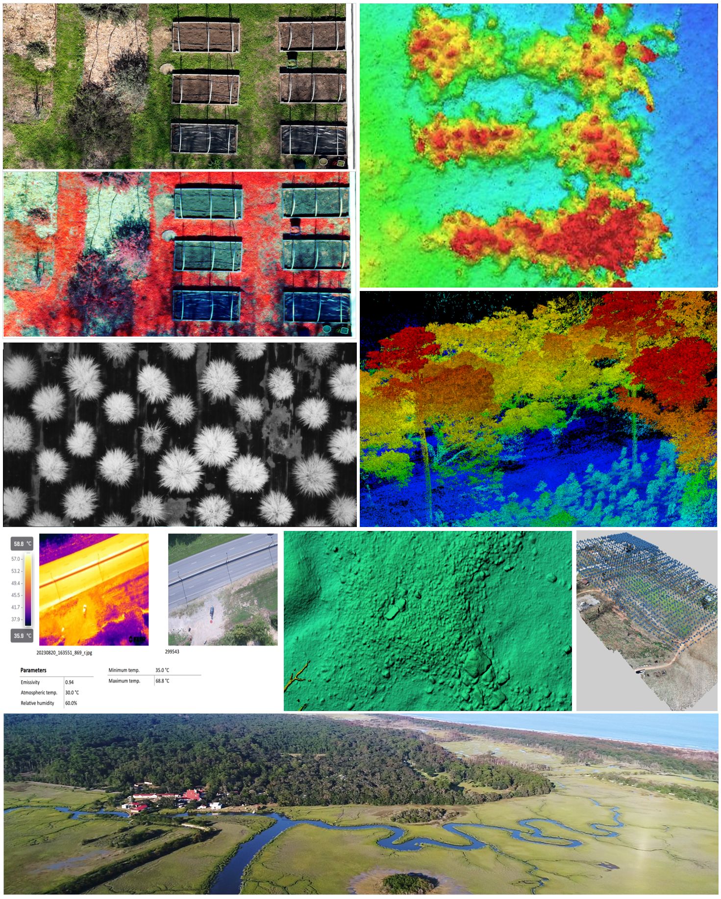
Geotagged RGB images can be collected and stored in compressed and/or raw format. Image acquisition possibilities include the cameras and drones below:
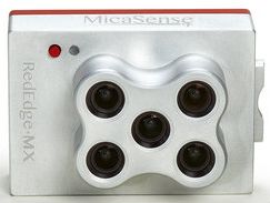
Geotagged multispectral images can be collected in lossless compressed format. Image acquisition possibilities include the camera and drone below:
Collections include data from a downwelling radiation sensor and ground calibration panel.
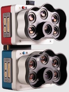
Further sensor details (external link)Geotagged multispectral images can be collected in lossless compressed format. Image acquisition possibilities include the camera and drone below:
Collections include data from a downwelling radiation sensor and ground calibration panel.
Further sensor details (external link)Geotagged multispectral images can be collected in lossless compressed format. Image acquisition possibilities include the camera and drone below:
Collections include data from a downwelling radiation sensor and a ground calibration panel.
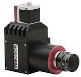
Further sensor details (external link)Geotagged hyperspectral images can be collected in lossless compressed format. Image acquisition possibilities include the camera and drone below:
Collections include data from ground calibration panel.
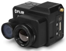
Further sensor details (external link)Geotagged thermal images can be collected in lossless compressed format. Image acquisition possibilities include the camera and drones below:
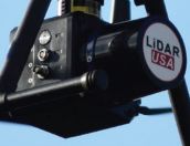
Geotagged LiDAR point cloud can be collected and stored using LAS/LAZ or other formats. Point cloud acquisition possibilities include the sensor and drone below: