Associate Director Dr. Tommy Jordan retires and Dr. Sergio Bernardes is named the new Associate Director of CGR.
CGR helps found the Small Satellite Research Laboratory (SSRL) at UGA.
Since 1985, we have been dedicated to advancing remote sensing, mapping, and geospatial research. Find below a timeline with the main events in the center’s history:
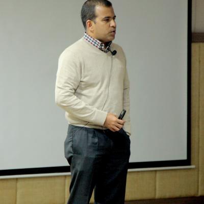
Dr. Deepak Mishra is named Director of CGR. Dr. Marguerite Madden becomes the center's Associate Director for Education and Outreach.
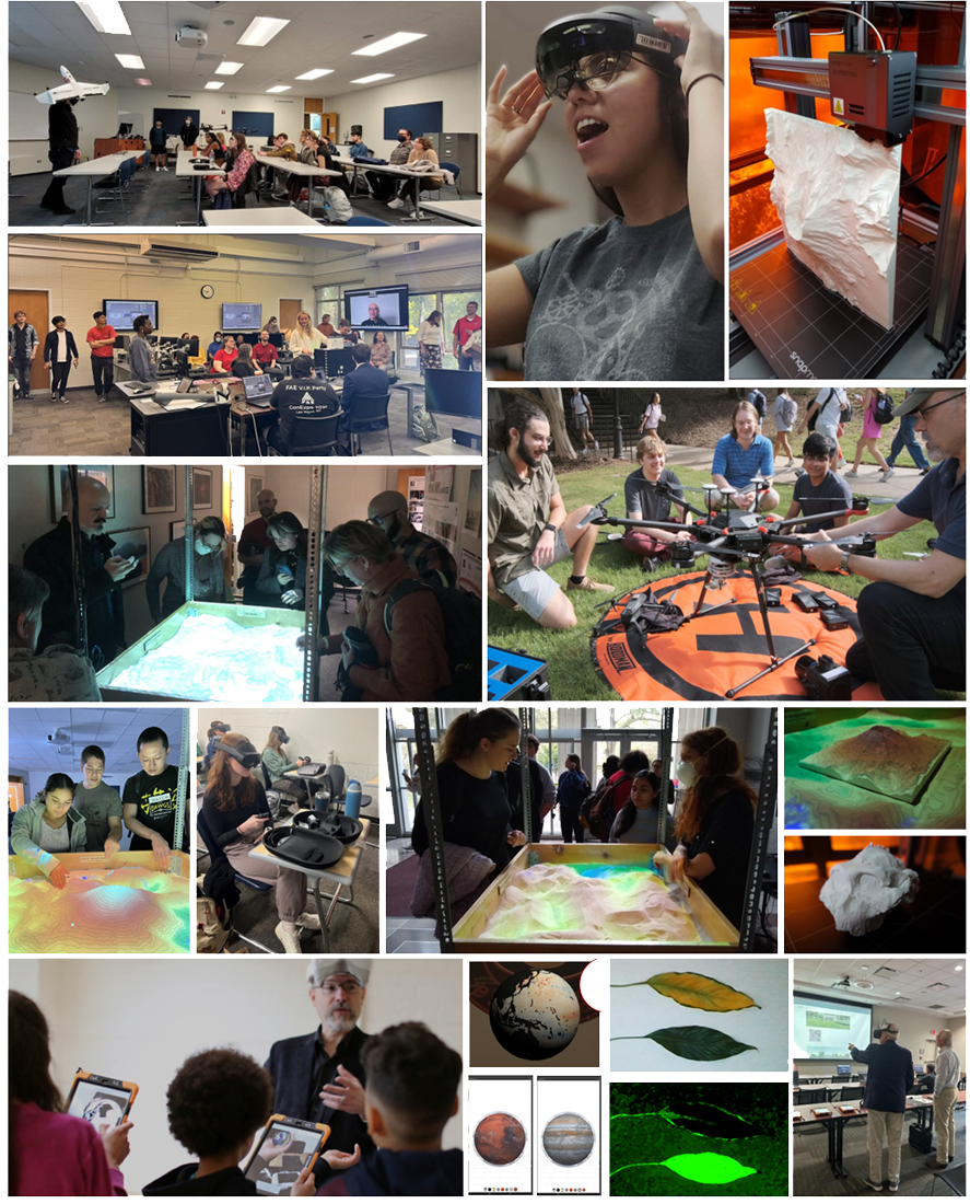
The Disruptive Geospatial Technologies Laboratory (DiGTL) was created as a lab member of CGR in 2017 and operated until 2024. Supported by UGA's Center for Teaching and Learning, the lab promoted the integration of cutting-edge technologies in teaching, learning, and research. DiGTL facilitated more than 9,100 technology interactions, engaged 55 student developers, was utilized by 70 courses and course sessions, produced 11 publications, and presented 102 works at conferences and events. Students were leading authors or co-authors of many of those works.
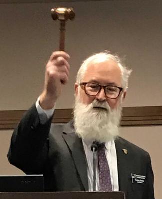
CGR Associate Director Emeritus, Dr. Tommy Jordan is elected the 85th President of the American Society for Photogrammetry and Remote Sensing (ASPRS).
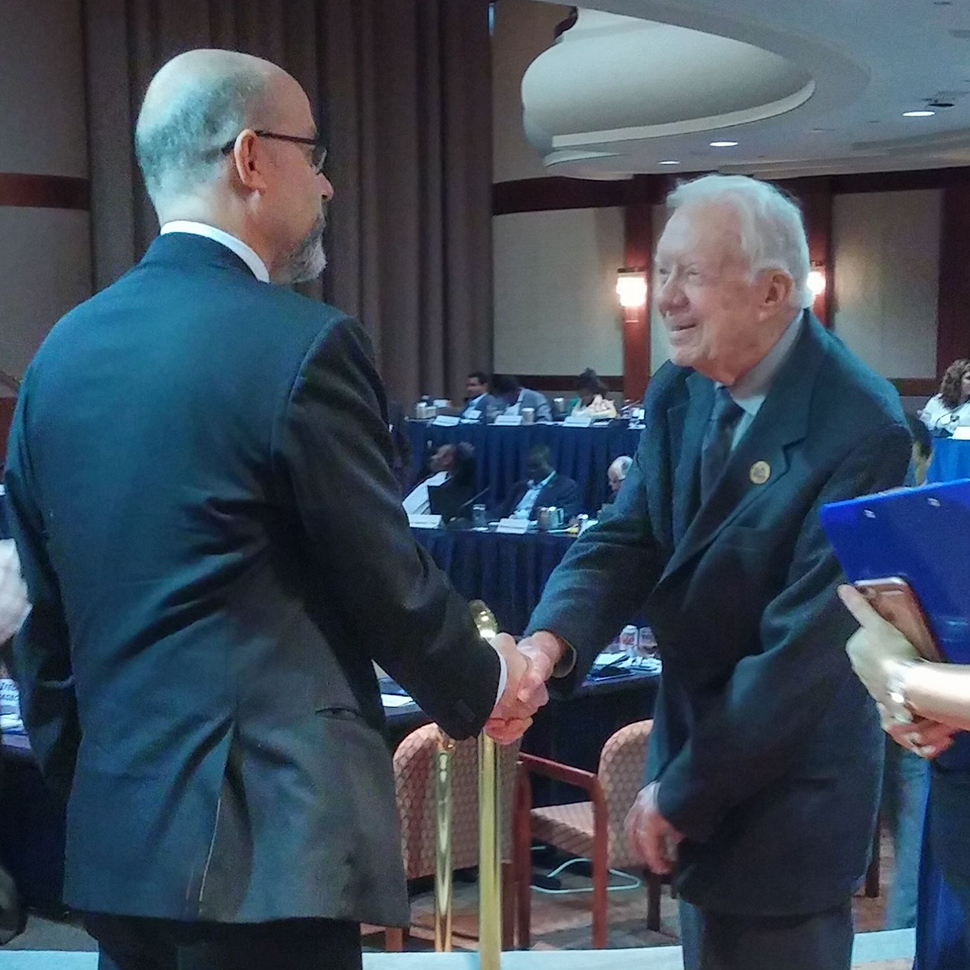
CGR works with The Carter Center and uses remote sensing to support humanitarian efforts that provide critical help to indigenous populations living in remote areas of the Amazon. Dr. Sergio Bernardes presents project results to President Jimmy Carter.
Associate Director Dr. Tommy Jordan retires and Dr. Sergio Bernardes is named the new Associate Director of CGR.
CGR helps found the Small Satellite Research Laboratory (SSRL) at UGA.

CGR co-founds the UGA node of the NASA DEVELOP National Program.
CRMS changes its name to Center for Geospatial Research (CGR) to better reflect the mission and future goals of the center. A new logo design is also adopted.

CRMS, Gainesville State College and PhotoScience Inc. are awarded USGS-funded contract to provide high-resolution LiDAR and orthophotos of North Georgia and the Great Smoky Mountains.
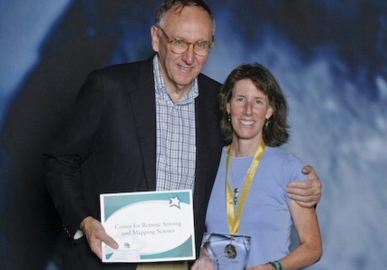
CRMS receives a Special Achievement in GIS Award from ESRI.
CGR Director Dr. Marguerite Madden is elected President of the American Society for Photogrammetry and Remote Sensing (ASPRS).

Dr. Roy Welch retires and Dr. Marguerite Madden is named Director of CRMS.
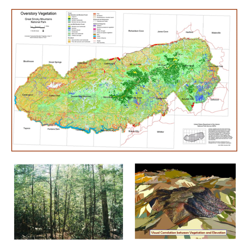
CRMS starts mapping the Great Smoky Mountains National Park (GRSM) and 17 other parks in the Southeastern United States.
CRMS is named a NASA Center of Excellence.
CRMS starts mapping the Everglades, Big Cypress, and Biscayne National Parks.
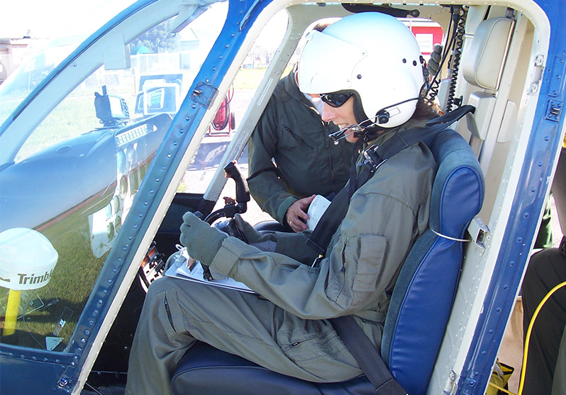
CRMS in partnership with R-WEL, Inc. releases the Desktop Mapping System (DMS), one of the first PC-based softcopy photogrammetry systems.
LRMS becomes The Center for Remote Sensing and Mapping Science (CRMS).
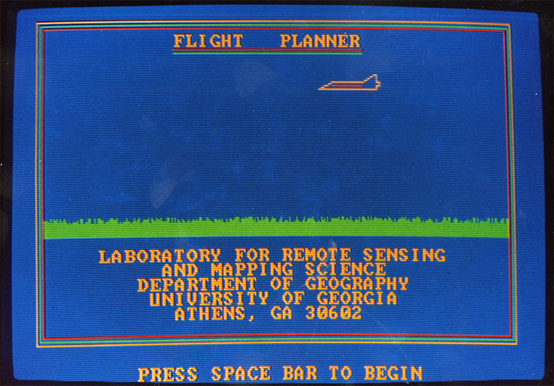
LRMS releases Flight Planner, the first commercial software to be developed at The University of Georgia.
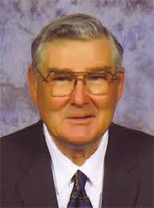
The Laboratory for Remote Sensing and Mapping Science (LRMS) is created as part of the Department of Geography at the University of Georgia. Dr. Roy Welch is appointed Director.