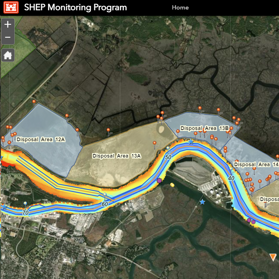
The Center for Geospatial Research is seeking a PhD student to prepare and process environmental data collected as part of the monitoring program linked to the Savannah Harbor Expansion Project (SHEP). The graduate student will join the monitoring component of SHEP and will use GIS to prepare visualizations to be shared using the project's map portal.
Desired skills include familiarity with desktop Geographic Information Systems (ArcGIS Pro), the ability to ingest, transform and process multitemporal geospatial datasets collected by multiple sources and in multiple formats, and to use ArcGIS Online to populate an online map portal.
If interested, email cv to Dr. Sergio Bernardes (sbernard@uga.edu).
This is a one-year position renewable for three more years, based on performance and availability of funds.
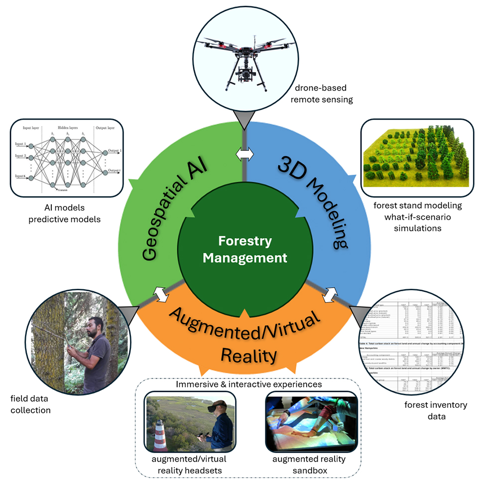
The Center for Geospatial Research is seeking a MSc student to prepare and process environmental data collected as part of the monitoring program linked to the Savannah Harbor Expansion Project (SHEP). The graduate student will join the monitoring component of SHEP and will use GIS to prepare visualizations to be shared using the project's map portal.
Desired skills include familiarity with desktop Geographic Information Systems (ArcGIS Pro), the ability to ingest, transform and process multitemporal geospatial datasets collected by multiple sources and in multiple formats, and to use ArcGIS Online to populate an online map portal.
If interested, email cv to Dr. Sergio Bernardes (sbernard@uga.edu).
This is a one-year position renewable for three more years, based on performance and availability of funds.
The Center for Geospatial Research is seeking an undergraduate student to help implement a workflow using the augmented reality sandbox at our center. The work involves software implementations in Python using a Linux (Ubuntu) environment. The student will use the AR sandbox and a Geographic Information System to integrate and process environmental datasets.
Desired skills include familiarity with Python, Ubuntu and desktop Geographic Information Systems (GRASS GIS). Some training will be provided.
If interested, email cv to Dr. Sergio Bernardes (sbernard@uga.edu).