
GeoAI
Building Large-Scale 3D Maps Based on High-Resolution Satellite Images
For a satellite-derived terrain awareness system to be most effective, it must embody three key features: (1) the ability to generate 3D point cloud and digital surface models using multi-angle satellite, aerial, or UAV images, (2) the ability to segment and classify the underlying terrain and identify a wide variety of objects in a robust manner, and (3) the ability to continually monitor terrains and accurately detect any significant changes.
This project explores the design and development of a robust terrain awareness system that meets the above requirements by leveraging advances in deep neural networks (DNNs), simultaneous localization and mapping (SLAM), and heterogeneous computing. Neural Radiance Fields (NeRF) will be investigated as a means to develop 3D reconstruction from satellite images as well as UAV imagery.
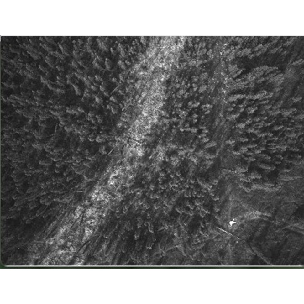
Related to the project objective to rapidly detect changing conditions, vegetation indicators will be used to assess the depth of the active layer of soil that seasonally thaws in the summer and freezes in the winter. One of the major indicators is Black spruce (Picea mariana) which dominates sites that have a relatively shallow active soil layer (~18 inches) meaning a permafrost layer that is closer to the surface. Thicker active soil layers tend to support other tree species whereas thinner active soil layers typically are dominated by shrubs, lichens, and mosses. As the permafrost melts, Black spruce tend to die and the dead trunks remain as indicator of shifting vegetation.
Funding and Collaborators:
-
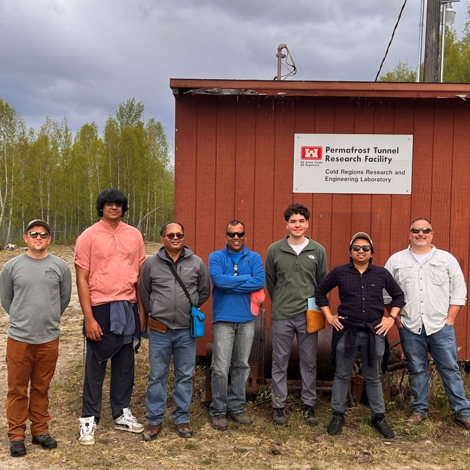
U.S. Army Research Lab Development Command