
GeoAI
Advanced GeoAI for Terrain Analytics in Cold Regions
UGA is currently the lead institution on a multi-year project investigating advanced geospatial artificial intelligence (GeoAI) for terrain analytics in cold regions. This project is funded by the US Army Corps of Engineers’ Engineer Research and Development Center (ERDC).
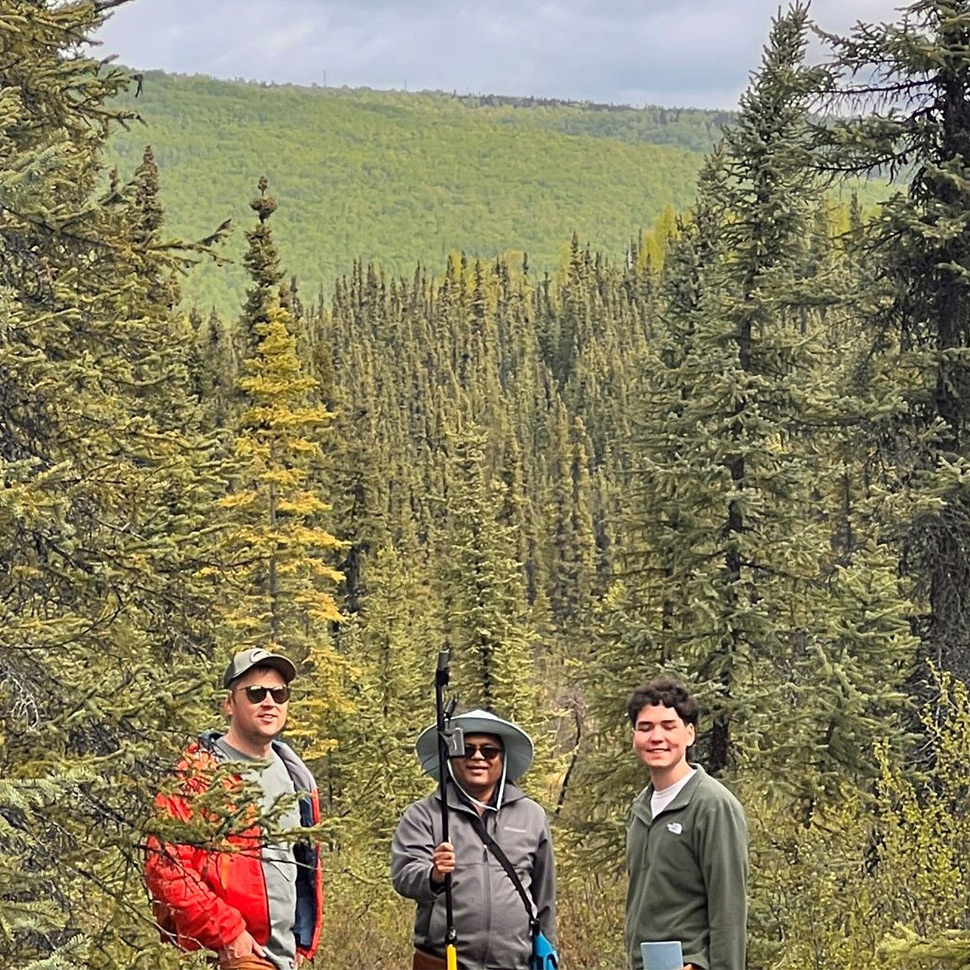
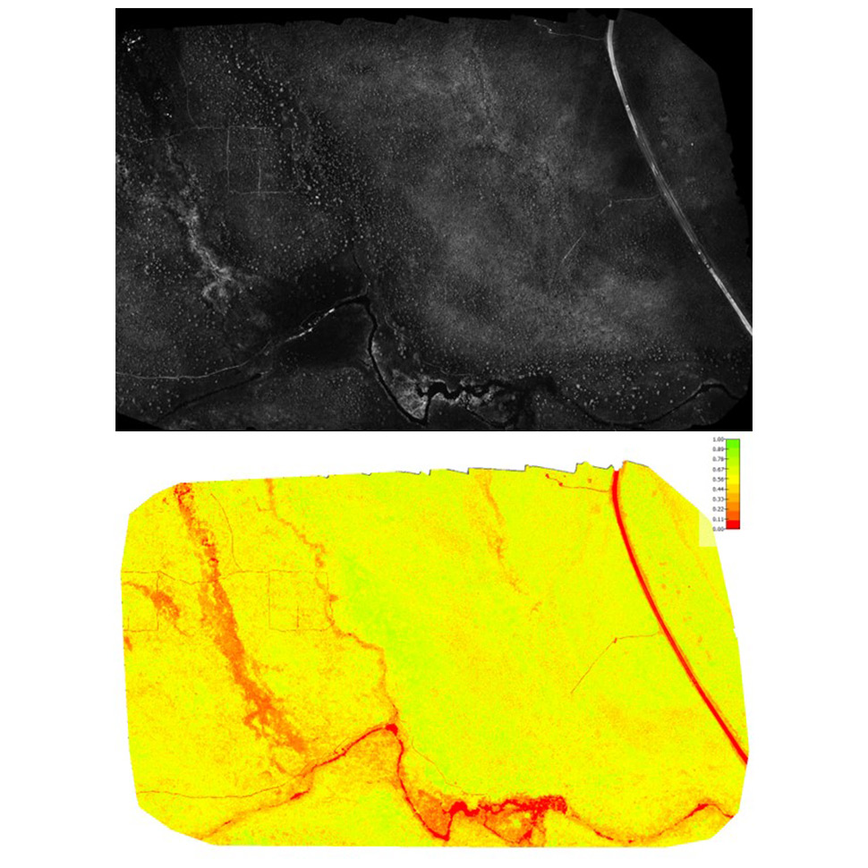
The overall objectives include comprehensive and advanced GeoAI for improved terrain analytics and domain awareness for cold regions emulating Arctic conditions (i.e., Alaska) using uncrewed aerial systems (UAS). It is important to develop 2D/3D enhanced terrain data acquisition, processing, and analytics to support advanced, multi-scale, multi-temporal intelligence preparation of the battlefield (IPB), as well as provisioning geospatial data for anti-access/area denial (A2/AD) intelligence capabilities.
The overall technical approach is focused on developing GeoAI-based algorithms and software that can ingest multi-modal imaging data to investigate properties and processes in terrains such as snow-covered regions of Alaska, which lack comprehensive domain awareness. Our efforts will support ERDC’s mission of advancing knowledge or state-of-the-art to extract meaningful information from relatively unexplored terrains.
Funding and Collaborators:
-
U.S. Army Corps of Engineers - Engineer Research and Development Center (ERDC)