Coastal Wetlands
Long-Term Tidal Marsh Resilience Analysis and Forecast Based on Spatially Explicit Coastal Wetland Equilibrium Model
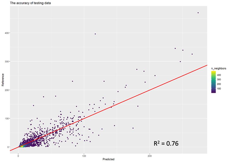
Our study aims to fuse earth observation, biophysical models, and artificial intelligence (AI) techniques to develop an integrated spatially explicit framework for monitoring and forecasting tidal marsh platforms' vulnerability to projected sea level rise (SLR). We will start with the modeling of the biophysical input variables with cross-calibrated Landsat 5-9 datasets for the Coastal Wetland Equilibrium Model (CWEM), which includes suspended sediment concentration (SSC), belowground and aboveground biomass, and root: shoot.

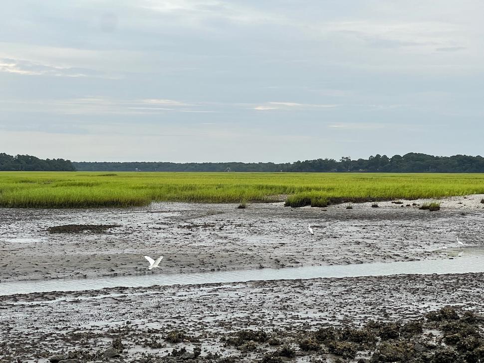
The study area for this project will essentially be the three NERR sites on the east coast of the United States, which include Delaware-NERR in DE, North Inlet-Winyah Bay (NI-WB)-NERR in SC, and Sapelo Island (SI)-NERR in GA. Then, we will map and forecast the long-term vertical resilience of the tidal marsh at different SLR scenarios based on the spatially explicit CWEM, which will interact with the horizontal changes of the tidal marsh platforms. Finally, we will develop a publicly accessible Google Earth Engine (GEE) dashboard connected with the Google Cloud Platform (GCP), which will show the space-time resilience distribution of the tidal marsh platform based on the Long Short-Term Memory (LSTM) model and Tidal Marsh Model (TMM). Models with different mechanisms will vote for different levels of tidal marsh resilience from different perspectives to produce unified spatial projections of the vulnerability of these important ecosystems to SLR.

The overarching goal of this study is to monitor the horizontal and vertical changes of the tidal marsh platform in the past 40 (1985-2025) years using satellite datasets and forecast its resilience or vulnerability to SLR in the next 100 years based on spatially explicit models and RS-based AI. The resilience of the tidal marsh platform is not only related to its ecosystem structure and functions but also determines the quality of life of people along the coast. Earth observation data fusing AI offers an excellent opportunity to parametrize process-based models and transform them from point-based to spatially explicit models.
Funding and Collaborators:
-
NOAA ESLR
-
National Estuarine Research Reserve
-
University of North Carolina Wilmington
-
Villanova University
