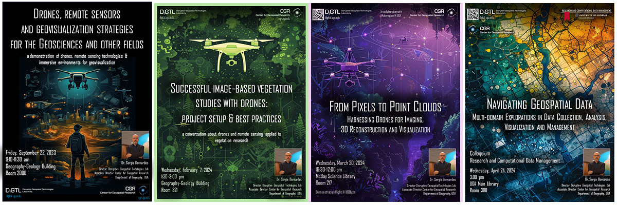
The center also offers a range of educational and engagement opportunities led by experts in the field, including talks, demonstrations, and training. These events provide insights and hands-on experiences that complement our academic offerings.

Our training includes geospatial technologies, with a focus on Geographic Information Systems (GIS) and remote sensing. Activities equip participants with the skills needed to analyze spatial data and create detailed products, in support of research, environmental monitoring, and various real-world applications. Through hands-on learning, participants develop a strong understanding of GIS tools and techniques, enabling them to effectively manage and interpret geospatial data.
In addition to GIS, training emphasizes remote sensing, covering both satellite and drone-based data collections. Participants learn how to work with different types of sensors, including RGB for standard imaging, multispectral and hyperspectral for analyzing various regions of the electromagnetic spectrum, as well as LiDAR and image-based 3D reconstructio, including structure from motion, or producing high-resolution 3D models. These cutting-edge technologies enable a deeper analysis of landscapes, vegetation, and geographic changes, preparing participants to apply these tools to a wide range of research and fieldwork.
For training inquiries, please contact Dr. Marguerite Madden (mmadden@uga.edu).