Loading...

Past Projects

Image

Athens: Layers of Time

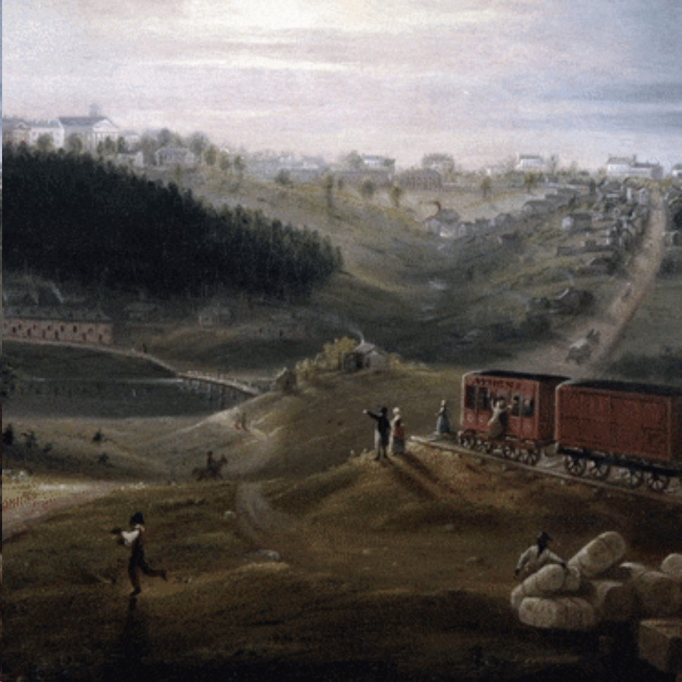
The project's datasets and story map serve as a portal to highlight and provide scholarly resources to support studies involving the Old Athens Cemetery, the Oconee Hill Cemetery, and the use of geographic space through time in Athens, Georgia. The multiple maps, images and documents compiled by this project help visualize and understand the growth of the City of Athens, the UGA campus and surrounding living and working environment of the people.

Funding source: Office for the Vice President for Research, UGA.

Center investigators: Marguerite Madden (PI, Phase 1) Sergio Bernardes (PI, Phase 2)

Project website: Athens: Layers of Time

Image

Geospatial Contributions to Worldwide Elimination of River Blindness (Onchocerciasis): Using Earth Observations to Locate At-Risk Yanomami Populations and Airstrips in the Amazon Region

This project supports efforts by The Carter Center involving the mass distribution of river blindness treatment and the education of populations potentially affected by the parasitic worm Onchocerca volvulus. We incorporate developments in remote sensing to address high cloud cover limitations in remote areas of the Amazon. Cloud computing was used to identify areas occupied by indigenous populations and airstrips in support of humanitarian efforts in the region. The work was presented to President Jimmy Carter and representatives from multiple countries at The Carter Center, in Atlanta.

Funding source: The Carter Center

Center investigators: Sergio Bernardes (PI), Marguerite Madden (Co-PI)

Project website: Locating At-Risk Populations in the Amazon

Image

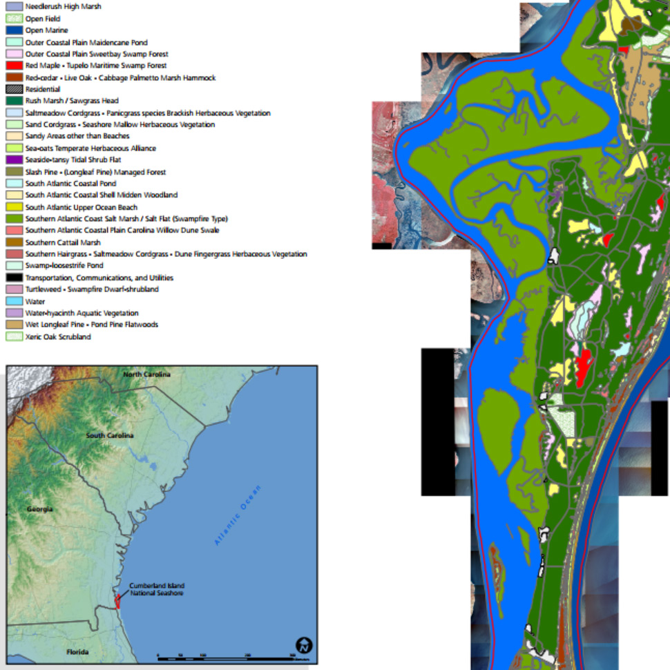
National Park Service (NPS) SECN Vegetation Mapping Project

CGR was tasked with mapping seven national parks located within the South Eastern Coastal Network(SECN) of the National Park Service (NPS) system. This brings the total parks mapped by CGR, or one of its prior affiliations, to 28 parks. Mapping included aerial photographs and insitu collected vegetation data. From 2014 to 2016 we mapped:

  • Ocmulgee National Monument (OCMU). Georgia.
  • Chattahoochee River National Recreation Area (CHAT). Georgia.
  • Horseshoe Bend National Military Park (HOBE). Alabama.
  • Canaveral National Seashore (CANA). Florida.
  • Timucuan Ecological and Historic Preserve (TIMU). FLorida.
  • Fort Caroline National Monument (FOCA). Florida.
  • Fort Matanzas National Monument (FOMA). Florida.

In addition to mapping these seven current parks, CGR is compiling final reports and geodatabases for six additional parks. Using accuracy assessment (AA) points in conjunction with draft vegetation maps and reports compiled by other groups, CGR will deliver final vegetation maps and databases for all of these parks.

Funding source: National Park Service

Center investigators: Marguerite Madden (PI), Tommy Jordan and Sergio Bernardes (Co-PIs)

Image

Digital Vegetation Maps for the Great Smoky Mountains National Park

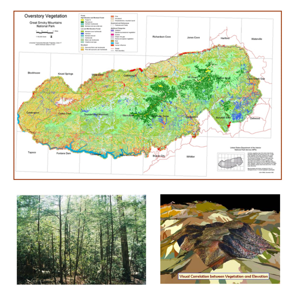
Detailed overstory and understory vegetation, forest fire fuels, percent canopy and understory density databases and associated maps of the 2000 km2 Great Smoky Mountains National Park were developed by the Center for Remote Sensing and Mapping Science at The University of Georgia in support of resource management activities of the U.S. National Park Service. Overstory vegetation was identified to the association level and crosswalked to the finest division of the National Vegetation Classification System (NVCS) protocol for the U.S. Geological Survey (USGS) – National Park Service (NPS) Vegetation Mapping Program.

Funding source: U.S. National Park Service

Center investigators: Marguerite Madden (PI), Roy Welch and Tommy Jordan (Co-PIs)

Image

Keeping the Promise: Planning the Future of the Blue Ridge Parkway

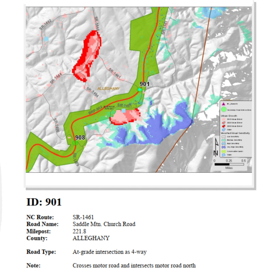
NPCA engaged the University of Georgia’s Center for Geospatial Research (CGR) in an effort to define a conservation alternative for inclusion in a National Park Service TIP for the Blue Ridge Parkway that maximizes the protection of the Parkway’s natural, cultural, and scenic resources (i.e. is the environmentally preferred alternative) by minimizing at-grade crossings and the improvement of at-grade crossings to the greatest extent possible.

Funding source: National Parks Conservation Association

Center investigators: Marguerite Madden (PI), Tommy Jordan (Co-PI)

Image

Acquisition of LiDAR and Orthophotos for the Tennessee Portion of Great Smoky Mountains National Park and the Foothills Parkway

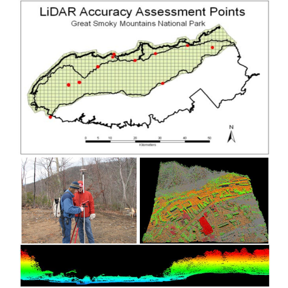
The acquisition of approximately 1400 sq. km (540 sq miles) of LiDAR data for the Tennessee portion of the Great Smoky Mountains National Park (GRSM) and adjacent Foothills Parkway was completed by The Center for Remote Sensing and Mapping Science (CRMS), Department of Geography, University of Georgia (UGA) and Photo Science, Inc (PSI). Under the terms of Contract #G10AC0015, this LiDAR acquisition was funded by the U.S. Geological Survey (USGS) through the American Recovery and Reinvestment Act (ARRA) of 2009. The LiDAR data acquired, processed and compiled in this project adheres to the specifications of the USGS Grant Program Announcement No.10HQPA0014 for Proposal # NM-ARRA-0073.

Funding source: U.S. Geological Survey.

Center investigators: Marguerite Madden, Tommy Jordan

Image

Wildlife Disease

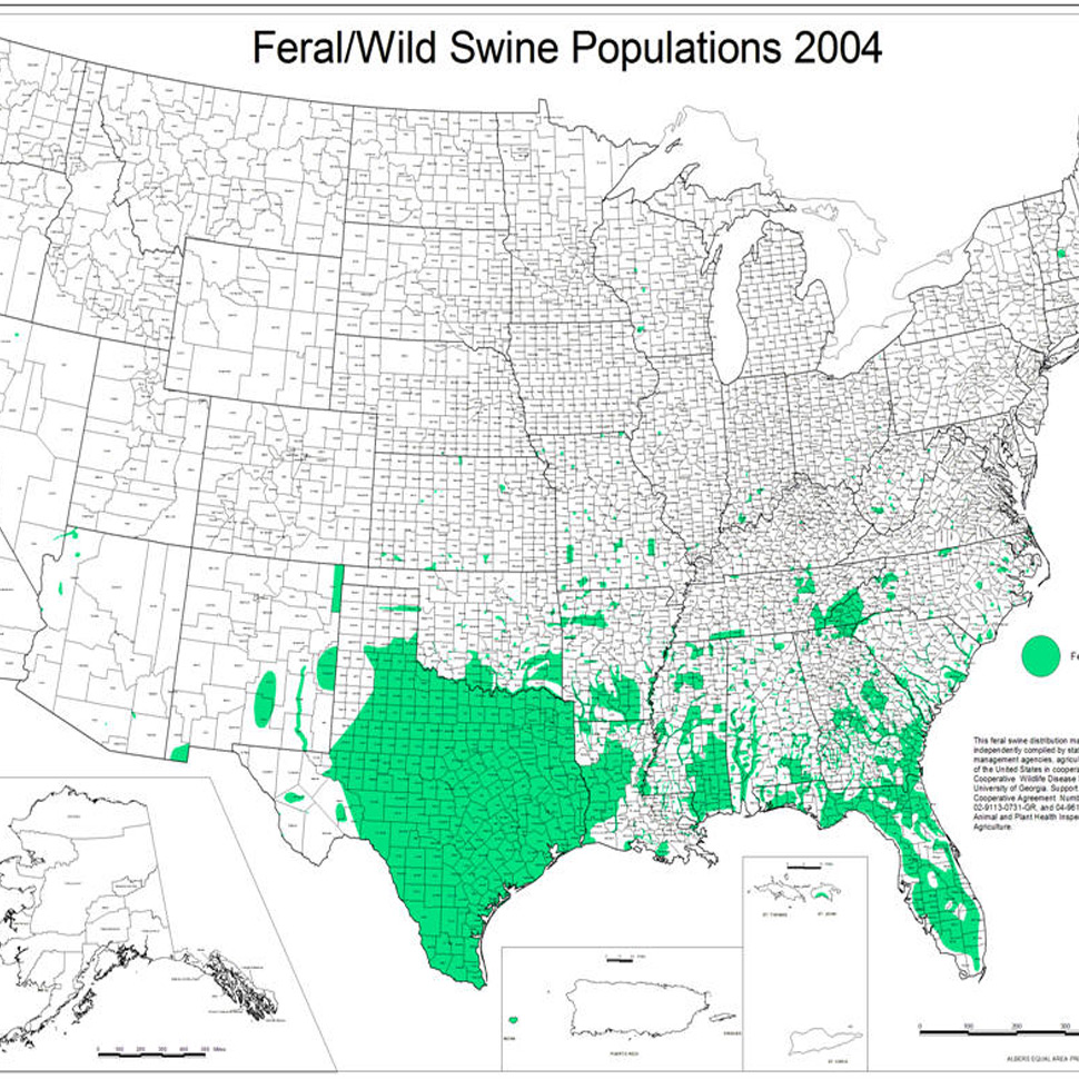
Work in cooperation with the UGA Southeastern Cooperative Wildlife Disease Study (SCWDS) on a number of projects involving the use of remote sensing, geographic information systems (GIS) and Global Positioning System (GPS) technologies for applications in wildlife infectious disease studies. Projects involved the visualization of disease occurrences or landscape analysis to assess environmental factors influencing disease outbreaks.

Specific examples include:

  • Mapping distributions of exotic ticks known to be the vectors of diseases to animals and humans.
  • Web-based update of feral swine distributions related to domestic swine populations.
  • Spatial patterns of wildlife associated with dairy farms for Johne’s Disease in Georgia and Wisconsin.
  • Deriving spatial data sets for logistic regression linking West Nile virus live bird surveillance in Georgia to environmebtal and climatic variables.
  • Spatio-temporal analysis and modeling of a 20-year database of nation-wide county surveys on reports on hemorrhagic disease in white-tailed deer (Odocoileus virginianus).

Center investigators: Tommy Jordan

Image

ORV Impacts on Vegetation at Big Cypress National Preserve

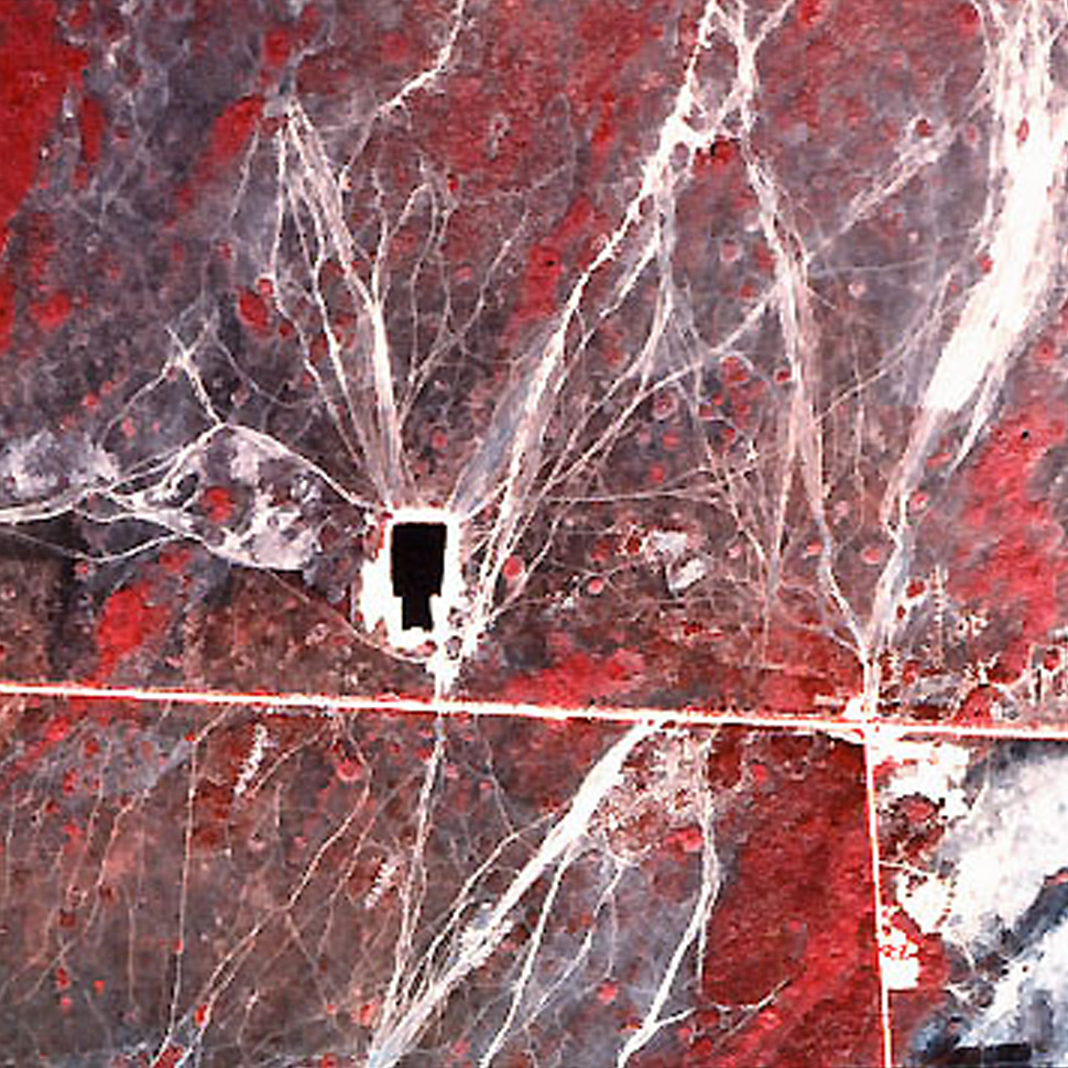
The CGR was asked by the National Park Service to assess the accuracy of off-road vehicle (ORV) trail maps and a corresponding digital database for Big Cypress National Preserve (BICY). These products were created in 1997-1998 from United States Geological Survey (USGS) National Aerial Photography Program (NAPP) color infrared aerial photographs recorded in 1994/1995 and resulted in the delineation of nearly 22,000 miles of rutted, undesignated trails. For the accuracy assessment, areas corresponding to six USGS 7.5-minute quadrangles within BICY were selected for accuracy assessment. In May 2000, helicopter and GPS navigation system were employed to verify trail locations and classes noted on the maps. Nearly 1500 observed points were recorded from the helicopter or in the field. These points were input to the ESRI ArcView software package to color-code trail classifications and assess their accuracy with respect to the ORV trail maps. Results of this study contributed to the development of an ORV management plan for Big Cypress.

Center investigators: Marguerite Madden, Tommy Jordan

Image

Augmenting AmericaView Earth Observation Day Materials

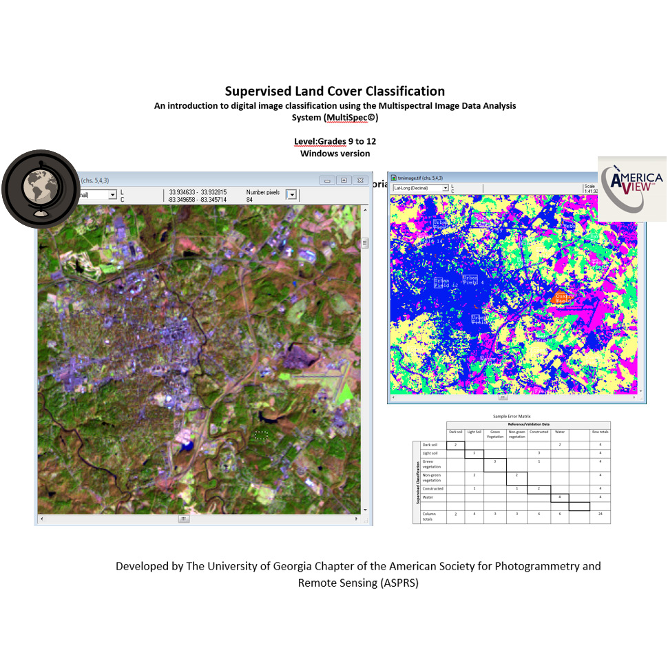
A series of remote sensing tutorials and other instructional materials made available to teachers and students around the United States. Materials covered the use of orbital images and image processing software for land cover change assessment.

Funding source: AmericaView

Center investigators: Allison Howard, Sergio Bernardes, Chris Strother, Patrick Lines