Geospatial Data Science
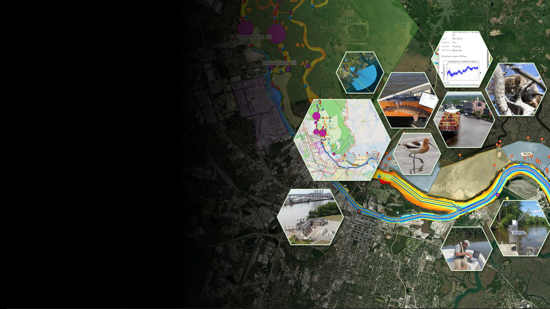
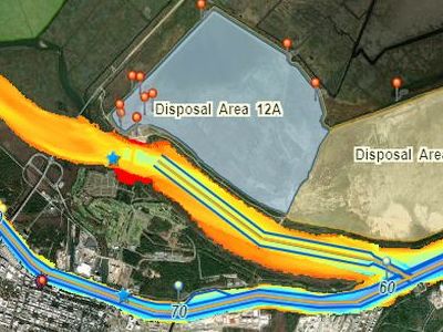
SHEP Monitoring Program
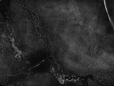
Environmental monitoring in support of impact mitigation
$61 MILLION+
Internal and external grants that support excellence in research and scholarship
SHEP Monitoring Program
Environmental monitoring in support of impact mitigation
Internal and external grants that support excellence in research and scholarship
Advancing remote sensing and GeoAI applied to climate and environmental studies using cutting-edge science and engineering for data collection, analysis, geovisualization and modeling through ground sensor networks, UAVs, satellites, citizen science, and small satellite development.
environmental remote sensing and GeoAI
photogrammetry
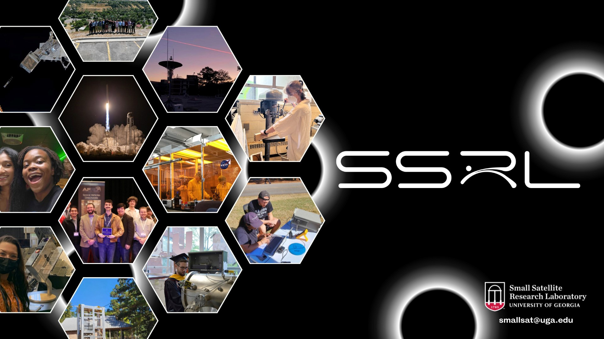
small satellite development
graduate and undergraduate training
DEI and outreach programs
16 Sep 2024
CGR receives new funds from the Army Corps of Engineers to provide geospatial support to the Savannah Harbor Expansion Project Monitoring Program.
Learn More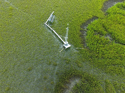
01 Sep 2024
CGR is awarded a NASA grant to develop high-resolution blue carbon products for fragmented and species-diverse tidal marshes.
Learn More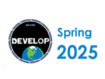
07 Jun 2024
The center node for the NASA DEVELOP National Program prepares for the Spring 2025 term.
Learn More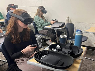
20 Jun 2024
New Learning Technologies Grant will help incorporate virtual and augmented reality into research and classrooms.
Learn More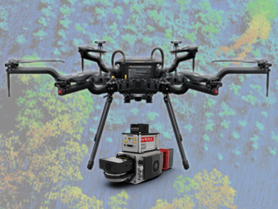
07 Jun 2024
Recently received LiDAR sensor and unmanned aerial system will help investigate 3D structure of canopies in agriculture.
Learn More
15 May 2024
UGA Professor Dr. Deepak Mishra named new director of the Center for Geospatial Research.
Learn More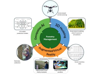
05 May 2024
Dr. Bernardes and a team of collaborators receive funds to incorporate AI and augmented reality into forest management.
Learn More
17 Jan 2024
Recent funding is helping us understand the contribution of types of pavement to the urban heat island phenomenon.
Learn MoreAdvancing geospatial science for a sustainable future.
Comprehensive and advanced GeoAI for improved terrain analytics and domain awareness for cold regions emulating Arctic conditions using UAVs.
Learn More
Synergies between above-ground and below-ground remote sensing techniques to document and analyze effigies and archaeological monuments.
Learn More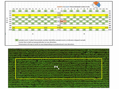
Addressing questions underlying the characterization of regional-scale geospatial models of agricultural systems description.
Learn More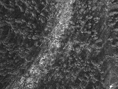
Design and development of a terrain awareness system that leverages advances in deep neural networks, SLAM, and heterogeneous computing.
Learn More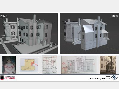
Using historical accounts, drones, 3D reconstruction and modeling to recreate landscapes in the 1850s
Learn MoreA framework that integrates community observations, remote sensing, and multimedia analytics for CyanoHABs monitoring.
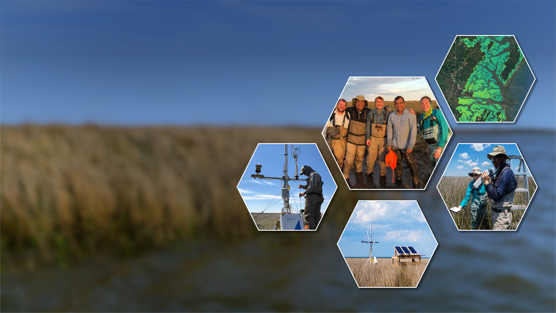
Learn More Studying three adjacent sounds (Altamaha, Doboy, Sapelo) on the coast of Georgia, including upland, intertidal and submerged habitats.
Learn More
Spectral bioindicators and morphometric descriptors of vegetation for plant trait estimations.
Learn More Combining UAV collections, AI, and AR/VR, to offer a comprehensive understanding of forest ecosystems.
Learn More Investigaing potential urban heat island mitigation strategies in marginalized communities.
Learn More Geospatial technologies in support of environmental monitoring linked to deepening of the Savannah River.
Learn More