Loading...

Current Projects

Image

Advanced GeoAI for Terrain Analytics in Cold Regions

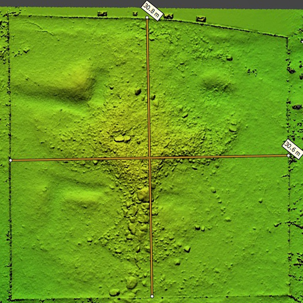
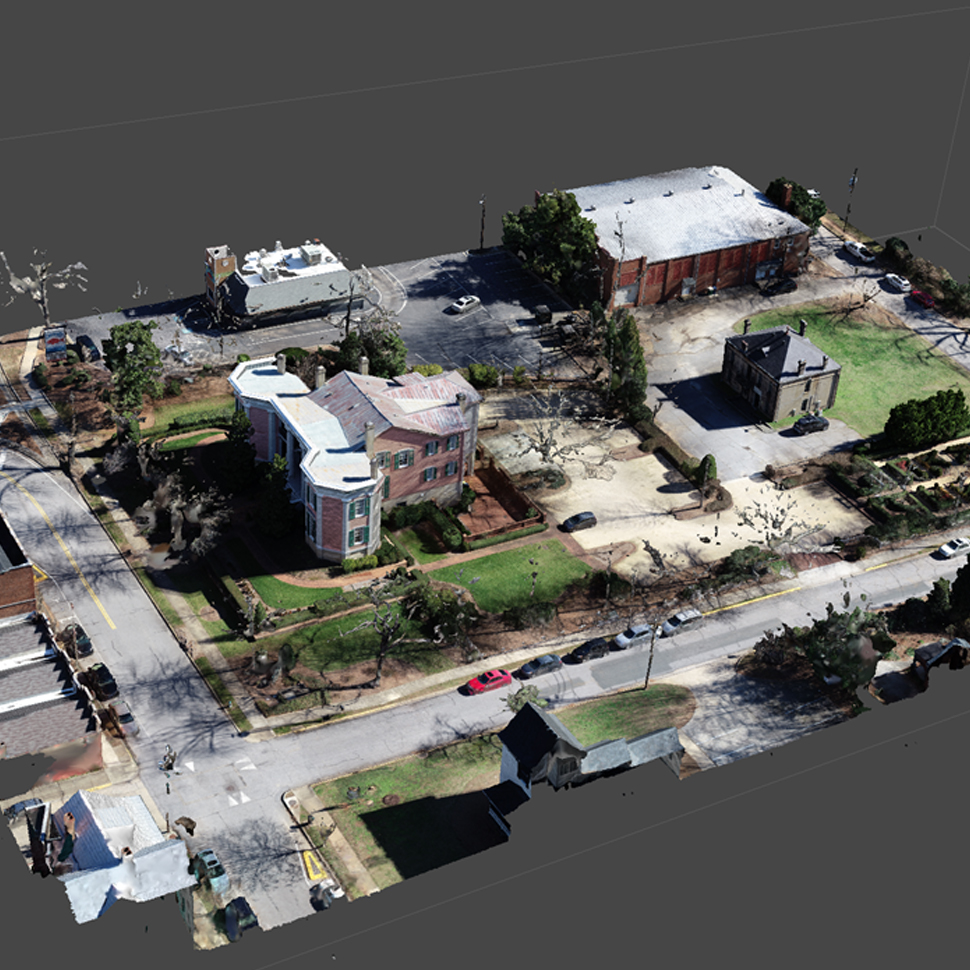
Project goals include comprehensive and advanced GeoAI for improved terrain analytics and domain awareness for cold regions emulating Arctic conditions (i.e., Alaska) using uncrewed aerial systems (UAS). It is important to develop 2D/3D enhanced terrain data acquisition, processing, and analytics to support advanced, multi-scale, multi-temporal intelligence preparation of the battlefield (IPB), as well as provisioning geospatial data for anti-access/area denial (A2/AD) intelligence capabilities.

Funding source: U.S. Army Corps of Engineers - Engineer Research and Development Center (ERDC)

Center investigators: Deepak Mishra (PI)

Project webpage: link

Image

Advances in Archaeology: Integrating UAV-Based Sensors and AI for High-Resolution Analysis of Native American Sites

Traditional methods of studying archaeological sites, such as direct measurements and excavations, are invasive and can potentially be destructive. This project explores synergies between non-destructive above-ground and below-ground remote sensing techniques to document and analyze Native American sites, including effigies and archaeological monuments.

Funding source: Institute of Native American Studies, Center for Teaching and Learning

Center investigators: Sergio Bernardes (PI)

Project webpage: link

Image

AI Innovations for UAS-Based Biomass Estimation and Regional Extrapolations in the Gulf Atlantic Coastal Plain

Via cooperative research among UGA and USDA scientists, this project addresses questions underlying the characterization of regional-scale geospatial models of agricultural systems. These fundamental geospatial science questions are being addressed by the Long-Term Agroecosystem Research Network (LTAR) to determine the extent of our areas of inference for research studies, and how well our study sites represent broader conditions in the surrounding region. Inherent in this research are investigations of spatio-temporal patterns of factors including temperature, precipitation, physiography, landscape metrics, ecosystem services, and agricultural production, at multiple scales within and across regions.

Funding source: United States Department of Agriculture (USDA)

Center investigators: Marguerite Madden (Co-PI), Sergio Bernardes (Co-PI)

Image

Building Large-Scale 3D Maps Based on High-Resolution Satellite Images

This project explores the design and development of a robust terrain awareness system that leverages advances in deep neural networks (DNNs), simultaneous localization and mapping (SLAM), and heterogeneous computing. Neural Radiance Fields (NeRF) will be investigated as a means to develop 3D reconstruction from satellite images as well as UAV imagery.

Funding source: U.S. Army Research Lab Development Command

Center investigators: Deepak Mishra (PI)

Project webpage: link

Image

Cobb's World

Cobb's World combines several research projects under one umbrella, including archival, genealogical, architectural, archaeological, and spatial research to digitally recreate a mid-19th century view of the Cobb family, their contemporaries, and their enslaved. The project contributes to historical heritage preservation by using multiple technologies to record properties (including grounds) using geospatial technologies and by making available 3D representations (historical digital twins) of those properties.

Funding source: Center for Teaching and Learning, UGA

Center investigators: Sergio Bernardes (PI)

Project webpage: Cobb's World

Image

CyanoTRACKER

Accurate, cost-effective, and targeted monitoring of these events is pivotal as the frequency and magnitude of CyanoHABs have grown, particularly in the summer months. A group of researchers from diverse disciplines at The University of Georgia, Athens, developed a framework called CyanoTRACKER that seamlessly integrates community observations (Social Cloud), remote sensing measurements (Sensor Cloud), and advanced multimedia analytics (Computational Cloud) for effective CyanoHABs monitoring. All components of CyanoTRACKER provided important data related to CyanoHABs assessments in global inland water bodies. Reports and data received via the social cloud, including platforms such as X (formerly Twitter), Facebook, and CyanoTRACKER website, help identify the geographic locations of CyanoHABs affected water bodies for tracking, mapping, and disseminating CyanoHABs information to the community.

Funding sources: National Science Foundation and NASA

Center investigators: Deepak Mishra (PI)

Project website: CyanoTRACKER

Image

Experiential Learning in Virtual Reality: A Novel VR Course Incorporating Open Neuroimaging Data and Algorithms for Personalized Instruction

The project generates a novel course to create new and exciting Experiential Learning Opportunities for UGA Psychology majors (PSYC 4300: Virtual and Augmented Reality in Psychology Education) while also making use of open neuroscience resources to create advanced, immersive, 3-dimensional neuroimaging viewer applications in VR/MR. The work maximizes the learning potential of these applications through the use of adaptive quizzing algorithms that personalize content delivery in VR/MR for student users.

Funding source: Center for Teaching and Learning, UGA

Center investigators: Allison Howard (PI), Sergio Bernardes (Co-PI)

Project website: link

Image

Georgia Coastal Ecosystems LTER

The Georgia Coastal Ecosystems Long Term Ecological Research site (GCE) was established by the National Science Foundation in 2000. The study domain encompasses three adjacent sounds (Altamaha, Doboy, Sapelo) on the coast of Georgia, U.S.A., and includes upland (mainland, barrier islands, marsh hammocks), intertidal (fresh, brackish and salt marsh) and submerged (river, estuary, continental shelf) habitats (Source: GCE LTER Website).

Funding source: National Science Foundation

Center investigator: Deepak Mishra (Co-PI)

Project website: Georgia Coastal Ecosystems LTER

Image

Leveraging Data Science for Enhanced Forestry Management: An Integration of Unmanned Aerial Systems, GeoAI Insights, and Immersive Augmented/Virtual Reality Visualizations

This project combines advanced aerial data collection with AI-driven analysis, aiming to offer a comprehensive understanding of forest ecosystems. The use of AR/VR technologies further enhances decision-making by providing an interactive and immersive experience, allowing stakeholders to visualize and assess forest conditions in detail. Goals of this innovative integration include improvment in sustainability and effectiveness of forestry management practices.

Funding source: Rapid Interdisciplinary Proposal Grant, UGA

Center investigator: Sergio Bernardes (PI)

Image

Mapping and Analysis of Groundwater Flow Paths, Anthropogenic Forces and Associated Environmental Impacts in Florida

The project focuses on understanding the complex interactions between groundwater dynamics, environmental conservation, and human activities in sensitive ecosystems of the Southeastern United States. It explores the impact of aquifer storage and recovery (ASR), mining, and other land-use practices on regional groundwater flow paths, water quality, and ecological health. By mapping fractures, sinkholes, and other subsurface features in karst terrains, the project identifies how these geological structures serve as preferential pathways for water movement, potentially altering hydroperiods and impacting habitats for various species, including endangered ones like the Florida panther.

Center investigators: Marguerite Madden (Co-PI), Sergio Bernardes (Co-PI)

Project webpage: Groundwater Flow Paths, Anthropogenic Forces and Environmental Impacts in Florida

Image

Mapping the People of Early America

The project creates an online, interactive time-lapse map of the African, Native, and European populations in North America between 1500 and 1790. We use environmental variables and population data to model population distribution and to place populations over the continent.

For school children, college students, and the general public, the early American continent is a blank map, and that is because it is, literally. This project fills a representation and visualization gap, allowing users to see the distribution of populations over time.

Funding source: National Endowment for Humanities (NEH)

Center investigator: Sergio Bernardes (Co-PI)

Image

Rubber-Modified Asphalt- A Potential Urban Heat Island Mitigation Strategy

The project evaluates innovative heat mitigation strategies that could revolutionize the way roadways are constructed and reduce heat exposure, particularly in marginalized communities.

Working in partnership with The Ray and Pirelli Tires, we investigate whether rubber-modified pavements are cooler than traditional asphalt surfaces. With established partnerships between The Ray and The City of Atlanta, a segment of roadway within one of Atlanta’s hottest, disadvantaged communities will be constructed with rubber-modified pavements. We employ in-situ and remotely sensed measurements to evaluate the spatio-temporal changes in surface and air temperature above the experimental roadway and a nearby control roadway. Our ESRI partners will provide data and GIS frameworks to identify candidate roadways and display observational results.

Funding source: Presidential Interdisciplinary Seed Grant, UGA

Center investigators: Marshall Shepherd (PI), Sergio Bernardes (Co-PI)

Image

Savannah Harbor Expansion Project Monitoring Program

The Savannah Harbor Expansion Project (SHEP) is a significant infrastructure initiative aimed at deepening the Savannah River to accommodate larger, more modern container ships. This expansion is crucial for maintaining the Port of Savannah's competitive edge as one of the busiest ports in the United States. The project enhances the efficiency of cargo transport, supports economic growth, and strengthens the region's role in global trade. The project also includes environmental mitigation efforts to preserve the surrounding ecosystem, reflecting a balance between economic development and environmental stewardship.

The Center for Geospatial Research contributes to this effort by creating and maintaining a comprehensive portal that offers access to a multivariate database of monitoring data, reports, as well as geospatial tools for natural resource agencies and the general public.

Funding source: Army Corps of Engineers/Department of Defense

Center investigators: Sergio Bernardes (PI), Marguerite Madden (Co-PI)

Project website: Savannah Harbor Monitoring Program

Image

SCOUT-Sensor Cloud-Based Community-Centric Approach for Analyzing and Mitigating Urban Heat Hazards

Extreme heat in light of climate change is increasingly threatening the health and comfort of urban residents. Understanding spatio-temporal patterns of heat exposure is a critical factor in directing mitigation measures. Current heat vulnerability indices provide insight into heat sensitivities within given communities but do not account for the dynamic nature of the human movement as people travel for different activities. High-quality temperature data at a finer spatio-temporal scale is critical for analyzing the risk of heat exposure and hazards in urban environments.

The variability of urban landscapes makes cities a challenging environment for quantifying heat exposure. Most of the existing heat hazard studies have inherent limitations on two fronts; first, the spatio-temporal granularities are too coarse, and second, the inability to track the ambient air temperature (AAT) instead of land surface temperature (LST). The two primary objectives of this project were to develop a new sensing framework to acquire hyperlocal ambient air temperature (AAT) from urban areas and develop a heat exposure model for urban residents.

Funding source: National Science Foundation

Center investigators: Deepak Mishra (Co-PI), Lakshmish Ramaswamy (Co-PI)

Project webpage: SCOUT Project